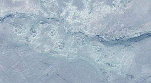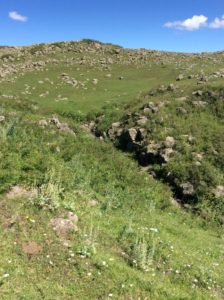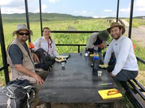
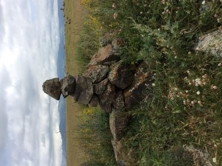
Groundtruthing, or checking out on the ground anomalies and architecture seen in the satellite imagery, is a necessary step in identifying cultural remains. We went high on the slopes of Mt. Aragats yesterday, to take a look at a site that looked like a settlement with some recent activity. Amongst the architecture, we found a fascinating series of stacked and standing stones picking out a roughly north-south line across the summits of multiple slopes.

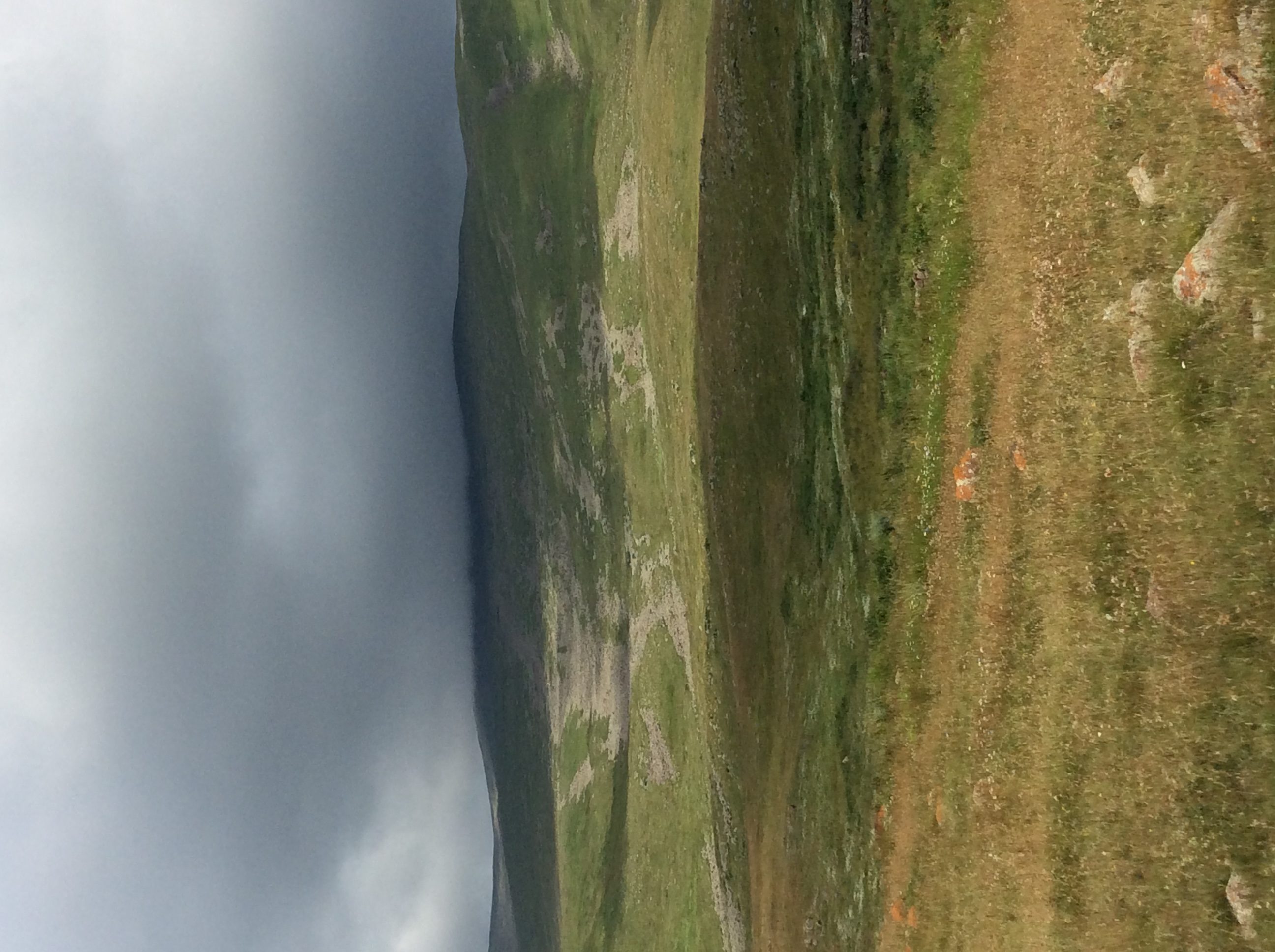
However, we were already high up on the flank of the mountain, high enough that the “scree” drainages in this photo are actually made of boulders — and high enough that the cloud obscuring the summit was worrisome.