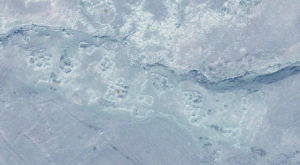
One way to conduct an archaeological survey is to examine satellite imagery as a way to focus attention on particular areas. This summer, the Kasakh Valley Archaeological Survey looked at high resolution satellite images of the area east of Mt. Aragats and identified a number of intriguing sites.
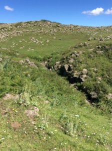
In this case, I found a series of rooms that seem to be enclosed by a wall, to the south of the shallow gorge in the upper third of this image. We established that it was within our survey area and the next morning, off we went to take a look. After a first attempt to drive there in our UAZ, we circled around from the north and hiked in across the gorge.
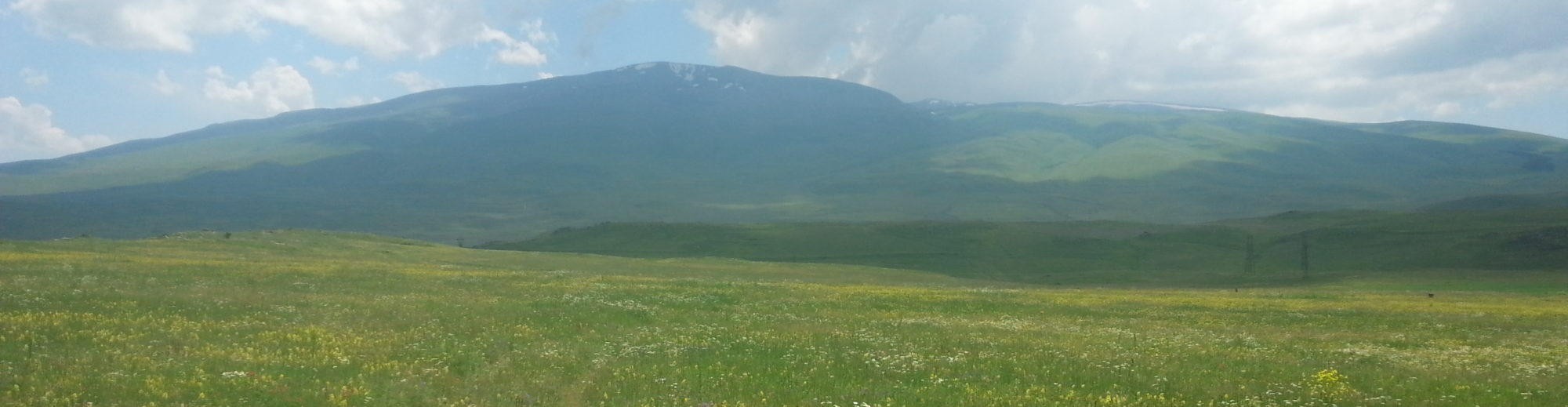
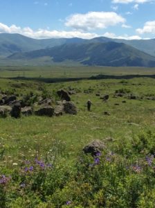
This is looking northwest from the settlement, across the gorge–which was not very deep, and the rivulet at the bottom, like many water courses in Armenia, had many conveniently-placed stones useful for crossing.
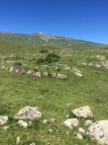
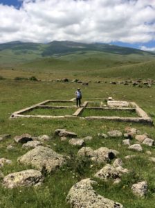
Here you can see the lines of rocks that mark walls; around the rose bush in the center is a series of connecting rooms, with at least one doorway that appears to have been closed with boulders at some point.
Looking south, this photo shows the eastern wall that appears to have a gap, on both sides of which are cobbled platforms that may have been the foundation for an exterior wall with some sort of fortifications.
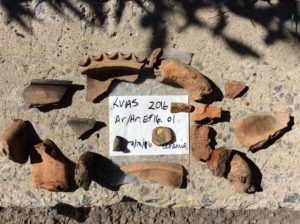
Early indications point to a likely medieval date for the settlement; the glazed pottery in the center of the photo above is not known in Armenia before the medieval period. After collecting ceramics and a couple pieces of obsidian, the team lined up in transect formation in the settlement itself to start a transect northward toward Aparan, the village we live in. Below you can see two team members standing at a 50 m interval from each other.
The following transects that took up the rest of the day turned up mostly modernish materials: rock clearance walls, and a clearly modern building foundation.