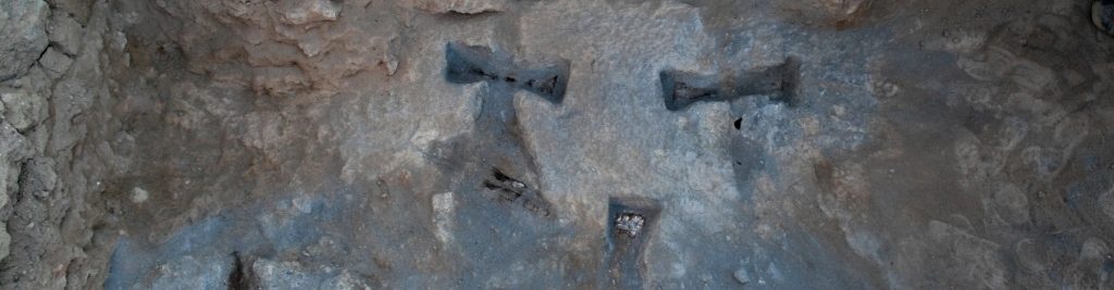
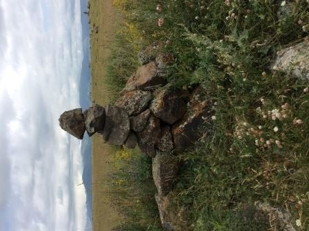
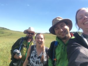
Groundtruthing, or checking out on the ground anomalies and architecture seen in the satellite imagery, is a necessary step in identifying cultural remains. We went high on the slopes of Mt. Aragats yesterday, to take a look at a site that looked like a settlement with some recent activity. Amongst the architecture, we found a fascinating series of stacked and standing stones picking out a roughly north-south line across the summits of multiple slopes.

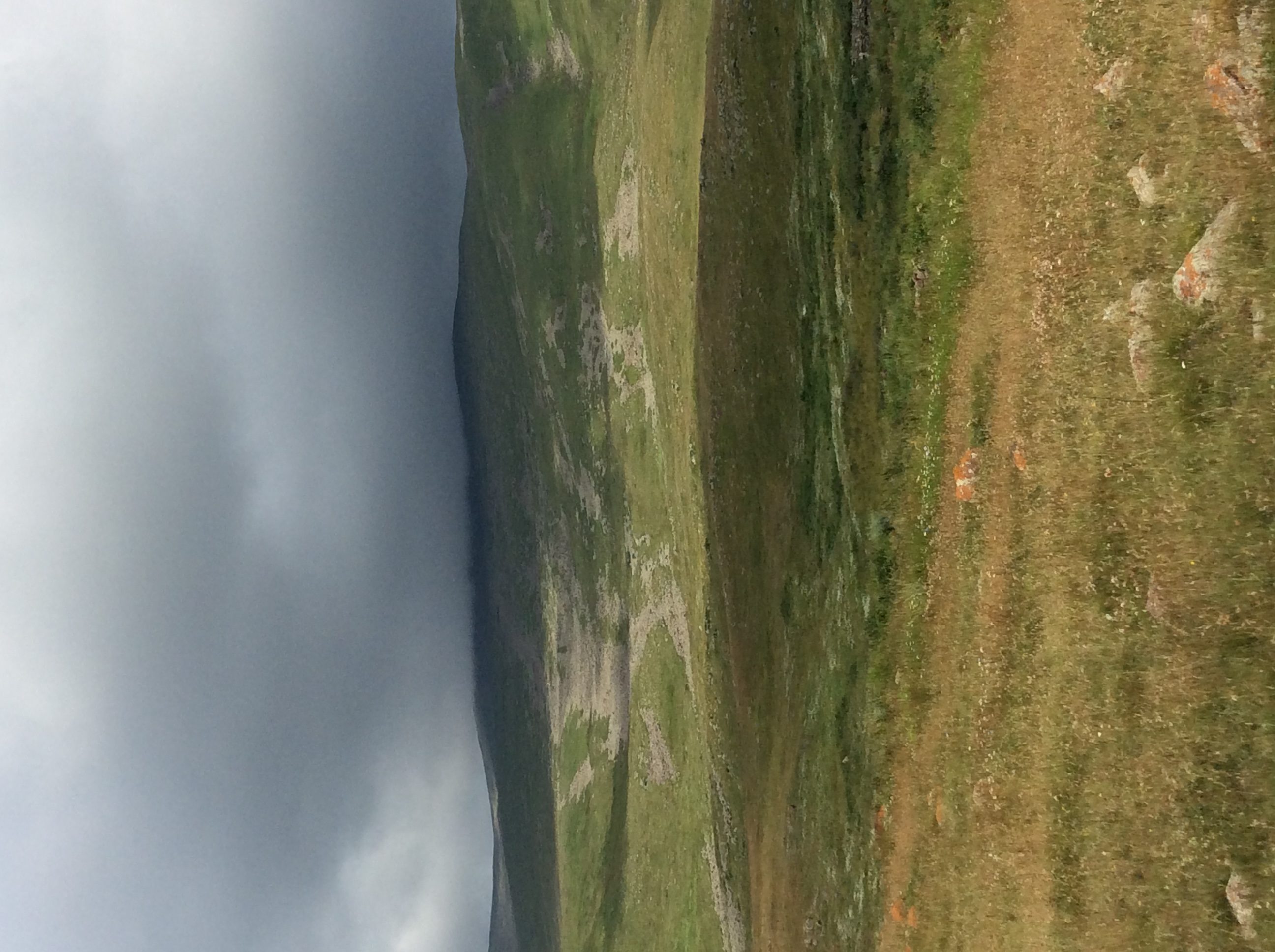
However, we were already high up on the flank of the mountain, high enough that the “scree” drainages in this photo are actually made of boulders — and high enough that the cloud obscuring the summit was worrisome.
 And indeed, as we crept slowly down the mountain, the rain and hail caught up to us and stranded our UAZ in mud up almost up to its axles. After we tried to make cobble bridges under the tires, after we tried to shake the truck loose, and after we tried to just push the thing, we decided to eat our lunch and wait for the rain to stop, thinking we might hike back down. After about three hours, our driver’s father charged up the mountainside through the storm, bearing two shovels to try to dig us loose. But nothing prevailed until a tractor came from a couple villages away to pull us out.
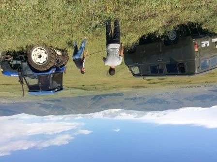
About thirty seconds after repositioning the chain, we were free. We still had a hairy ride down the rest of the mountain, because the heavy rain had made mud slicks of all the roads and even the fields, but we made it.
Bonus track: https://vimeo.com/10613538